
Topographic and ALTA Surveying Services for Commercial Projects in Clarksville, TN
At Suiter Surveying & Land Planning Inc., we provide detailed surveying services that help you make confident decisions. As a local business, we understand the value of trust and accuracy. From boundary lines to elevation data, our experienced surveyors deliver results that keep your project moving forward—on time and on point.
Boundary Surveys
Boundary surveys help define the exact lines of a property. We use advanced tools to mark your land’s legal edges. This is helpful if you're buying, selling, or building on a property. Our boundary surveys prevent disputes and give you peace of mind. We check public records, use GPS and total stations, and create clear maps that stand up in court or with zoning offices.

Topographic Surveying
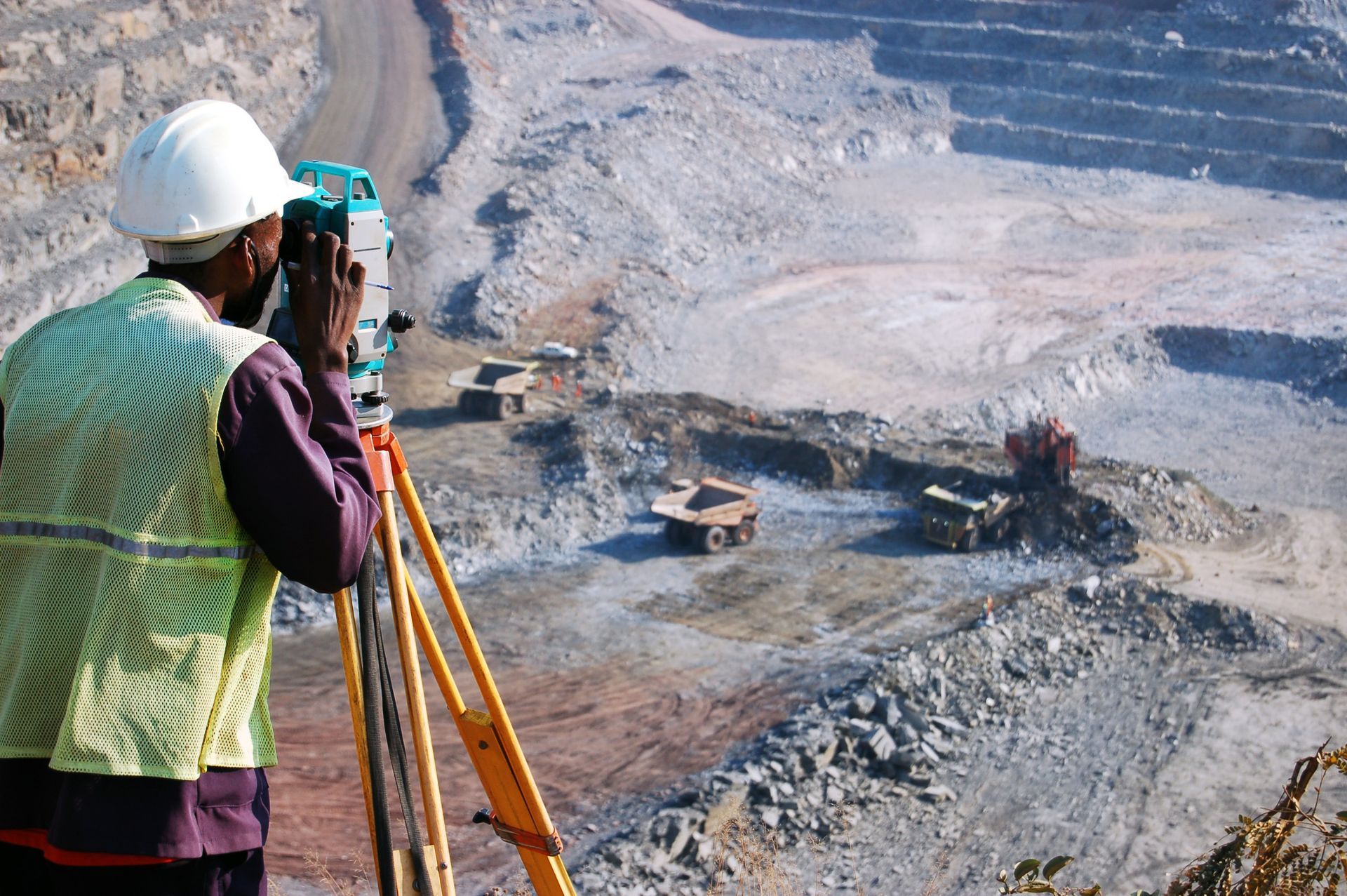
Topographic surveys show the shape, elevation, and features of the land. These include hills, trees, buildings, and roads. We use this type of survey to help engineers and architects plan construction that fits the land. Our team collects detailed data using cutting-edge technology. We turn it into maps that support grading, drainage, and site design.
ALTA Survey
An ALTA (American Land Title Association) survey is often needed for real estate transactions and title insurance. It combines boundary, topographic, and legal elements. Lenders and buyers use it to see if a property meets zoning laws and if there are any risks. We follow strict ALTA/NSPS standards to make sure the survey is complete and accepted by banks and title companies.


Elevation Certificates
An elevation certificate shows the height of your building in relation to the ground and flood zones. It’s often required for flood insurance and building permits. We accurately measure elevation and complete all FEMA forms. If your property is in a flood zone, this document helps you prove compliance and may even lower your insurance costs.
Start Your Survey With Experts You Can Trust!
Need accurate, professional surveying services? Contact Suiter Surveying & Land Planning Inc., in Clarksville, TN, at 931-920-1750. Whether it’s a boundary check, topographic map, ALTA survey, or elevation certificate, our team is here to help.